I left Portland Oct. 28th, 2009, Wednesday, at 8:15am. Heading East, I had in mind going to Missouri and visiting Taffy. But Springfield is a thousand miles out of my way from my plan of heading into the South West and warming up in the desert, doing some minor work on my RV there, and then getting some dental work done at the border with Mexico.
I had been checking for months and found via the internet that Palomas Mexico, right across the border from Columbus, New Mexico, had several highly recommended dentists. My resources also showed a low cost RV park just 3 miles from the border. But first I needed to back track into the Columbia Gorge. And if I kept to my plan of visiting Guadalajara, Palomas was both a good place to cross the border, and right on my route south.
Within an hour of leaving the RV park in Corbett, I stopped at Multnomah Falls, within the Columbia River Gorge National Scenic Area (NSA). The NSA starts just a few miles East of Troutdale, Oregon.
Millions visit the falls every year. I was lucky to be there when there was only one other visitor. The place is packed in the summer. Multnomah Falls is the second tallest year round waterfall in the nation, dropping 620 feet from its origin on Larch Mountain. Unusually cold weather can freeze the plummeting water into a majestic icicle. I’ve been here hundreds of times, having lived in the Portland area for decades and with relatives in Walla Walla, it’s just natural to stop here on the way by. Or to run out here in the heat of the summer where the natural cooling from the falls makes a comfortable sojourn. And the falls are right off I-84.
I’ve hiked to the top of the falls numerous times in the past but the urge to travel was too strong today so this visit I just got a few shots from below. Around 5 years ago a family hiked up to the top with their dog. When they got to the look out at the top of the falls the dog was so excited to be there he slipped between the fence slats and fell to his death. I mention it only because I was there that day so heard about it and saw the poor dog’s body brought down to the lodge and given to the owners so it was on my mind this day. I was also here a couple days after a giant bolder that use to overhang the pool by 50 feet or so, came loose from the cliff it hung from and plummeted down into the pool. No one is allowed in the pool under normal circumstances so no injuries but it was pretty spectacular from what I hear, splashing water onto people on the bridge 50 yards or so from the pool. There’s a picture here later.

Multnomah Falls, from the freeway parking lot.

Lower Falls

Lower falls.

Still the lower falls.

The bridge.

Fallen fall leaves at the falls.

Off in the distance, the Columbia River.

The upper bridge. The trail leads to the top of the falls.

The bridge.

The gorge.

Looking back towards the lodge.

The pool at the base of the main fall.

And the main falls. Hard to see but there is an observation deck at the top.

And the money shot after I walked back down.
That’s the tour of Multnomah Falls. After this nice refreshing hike, I got back on the road and a few miles later stopped at Bonneville Dam.

Driving my RV past the dam's power house. Spillways on the left.

Upper view.

A turbine blade. This one was removed from service when it started to develope cracks.

Power distribution.

One of the fish ladders. This one passes water by the fish viewing and counting windows.

I happened to walk into the fish viewing area when this Sturgeon was passing the window.

The pond of slack water behind the dam.

And back on the freeway heading east. That's the Columbia on the left.

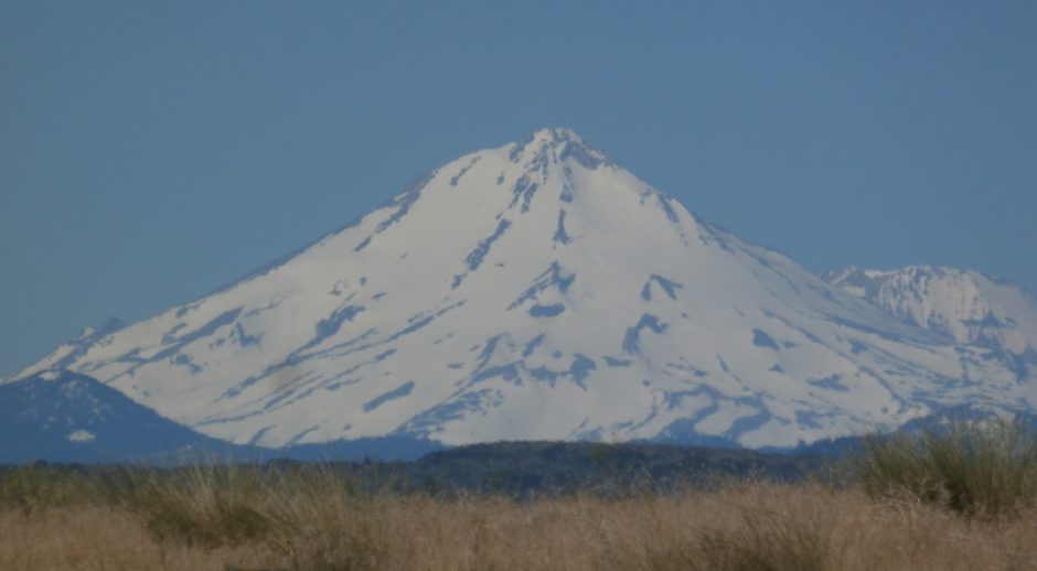
A few hours later and I'm just coming into Pendleton, Oregon. Those are the Blue Mountains off in the distance. There's still time in the day to nearly get through them.

Here's a view looking back west from the foothills of the Blues.

An hour later and I find snow.

It was getting late so I pulled into this RV park along the river. Catfish Junction RV Park. It was pretty chilly so after taking a couple pictures it was back into the RV to warm up.

The river at dusk.

Taken the same time as the last picture but didn't come out as dark.
So, this day I traveled from Corbett, Oregon to a tiny point on the map in Huntington, Oregon, along the snake river. I traveled 328 miles over 9 & 1/2 hours with stops.
Next time I drift South on the journey to New Mexico.