Then next morning, we left the Jasper National RV park and headed south to Banff, arriving around 10:30am. This is a nice little tourist town that’s in really good shape. Picturesque and all. Looks like a fancy ski town. I’m betting, based on the types of stores we saw here that that’s mainly what’s happening here. Winter sports.

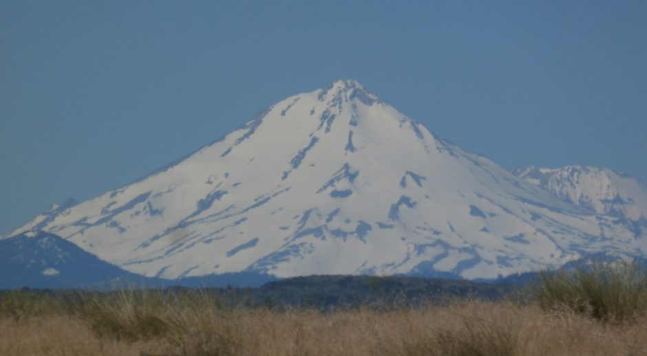
Downtown Banff with one of the mountains that surround the area in the background.

The Internet Cafe where we spent a couple hours online.
When I tried to pay for my internet time and coffee, my card was declined, so, once again, recognizing that the anti-fraud company had put a stop on my Visa card, I had to call my bank and get them on the line with the fraud company to straighten it out. Not so bad here in Banff, an area with cell phone coverage. Usually my crappy T-Mobile doesn’t have service in areas where Dan’s Verizon works fine. This was one of those rare areas where I actually had service. But it was a hassle none the less.
Just a note about that. I would say that Dan’s Verizon coverage was around 75% throughout this entire trip from Fairbanks, through remote areas of Canada and down to Walla Walla, where Dan caught a flight back home. My T-Mobile coverage this entire trip was no better then 25%. There were many places, small and big towns in Alaska & Canada where Dan would have 1 to 5 bars and I’d have none.
Then in Walla Walla, in a RV park no more then 4 miles from downtown where I was told T-Mobile had their own cell tower, I got no better then one bar. Usually had zero bars and couldn’t call out. Actually had to leave my RV, walk 50 yards or so to find an area where I got coverage. I even called them and complained when I could and they said, “Oh, we have coverage at that address so we can’t do anything for you”. Idiots. Recommendation from here based on experience is to stay away from T-Mobile’s crappy coverage.

Heading back North from Banff.

We stop for another hike.
The weather was spectacular with miles of blue sky dotted with the occasional fluffy white cloud.

We started up the trail and found that it paralleled this river.

Love the color. It's a result of glacial melting.

The canyon.

Deep waters run still...or something like that.

More canyon.

One of the many bridges over the canyon.

All around were the results of a massive forest fire from 1968. Denuded nearly the entire area.

We reach the headwaters.

Then we head back down the trail. More opportunities for pictures like this.

Dan's over there.

Splashy, splashy.

More of the forest fire aftermath.

Canyon got very narrow here.

Below another bridge.

I really liked this section of the river.

Plenty of mountains surrounding us.

An interesting little beach at the bottom of the canyon.

Nearing the end, and some of the flotsom that's piled up.
After we left that canyon, we traveled around an hour to the ‘Paint Pots’ area. This is an area where minerals are very close to the surface and once found by ancient Indians, have been mined since then. The Europeans followed the Indians here and did extensive surface mining first with hand tools, then with power equipment. The minerals are valuable for the colors that can be made from them in paints and cosmetics. A large paint factory was built not far from here to take advantage of this resource. To get to the area, we crossed this nice suspension bridge.

We start our second hike of the day over a relaxed river.

The river near the Paint Pots.

I think this is a different river...one of the tributary's. Mainly, I'm showing the mountains off in the distance.
Here we passed open areas of mineral rich ground surface. This area was mined for the ocher color of the minerals here. It’s so iron rich that scant flora grows here. The Indians used it in their daily lives, the Europeans used it to color paint.

A scoop shovel for the minerals around here. The old steam engine that once pulled this bucket was hauled of to another job site somewhere.

Cool, a historical sign.
The Paint Pots are pools of water formed by gradual deposition of iron salts around the rim. It isn’t as colorful in this picture as it was in person. Many subtle colors were visible including what looked like an oil slick on the water surface.

One of the mineral springs.

Another mineral pot. This is a more pronounced red color.

Mineral traces.

Just a shot of the local region with the rich ocher color in the foreground.

One of the loop trails we decided to take.
After we finished that nice hike, we decided to walk along one trail that was like 4 miles round trip that was suppose to take us up to the highway, with an easy trek back alongside the road. Well, we hike all the way up the trail…a little to fast too, and when we got here (see next picture), we noticed that the bridge was just gone! No way to get across to the road over there. So, we hiked back and at the sign, we found that someone (not the park service) had scratched an X over the trail name. We didn’t see that when we passed as it was too lightly done. The idiots in the forest service didn’t bother to let us know the trail was not a loop but an up & back.
![Where the bridge was [i]suppose[/i] to be.](https://i0.wp.com/66.147.244.110/~goblinbo/chaos/wp-content/uploads/2009/10/100_4828-213x320.jpg?resize=213%2C320 "100_4828")
Where the bridge was suppose to be. You can see both the highway and the cement casement for the bridge.

Another half hour down the road we stop at this hot spring.

Nice pool. Couldn't figure out if it was hot spring water or not.

Where was this? Dry Gulch, BC?

Back on the road, heading South this time. This is Lake Windermere.
I don’t know where we stayed this night. I do know that we stayed somewhere in BC because the next morning we only had a couple hour drive to the border with Idaho.