During the visit to the ice caves, I gathered info about touring Capt’n Jack’s Stronghold from the FS desk. Found that the ranger showed up there at 9 AM, I could meet him there, and get a guided tour. That sounded interesting so became my plan. Next morning, drove over to the national park main entrance once again, and took the left for the 8 mile drive to the stronghold. Got there about 15 minutes early and just hung out in the parking lot. There was already a Forest Service truck in the parking lot but I figured it was there for some other reason. At 9:15, I was getting a bit antsy and started to doubt that I’d heard the time right the previous day. Maybe she’d said 10 am?
Eventually decided to just hike the trail without the guide. A little disappointing but I guessed I’d see most everything even without a guide. And there’s the fact that I’d read at least 5 books about this whole story.
Off in that direction is Tulelake. So far away nowadays you can’t even see it. During Capt’n Jack’s time the shore would have been much closer. In fact the shoreline would have been where that road in the near distance is, just 100 feet behind my car.


 There’s the forest service truck. A half hour of waiting was long enough for me, so I just started hiking along the trail for a self guided tour. There’s a brochure available for $1 at the beginning of the loop hike I was happy to find and I picked one up. At each point of interest noted in the brochure there’s a post with a number painted on it. Because of the very dry and hot summers, and the brutal winters, most of the numbers are illegible now. There’s 23 points of interest so too many site descriptions to republish here, you’ll just have to come visit the stronghold yourself.
  Looks kind of remote doesn’t it? That dry area past the road is where the lake use to be. And was the only source of water for the Modoc during most of the battle over 5 months here. But there was rainwater and snow melt too. Just never enough for all the people.
 And here’s the start of the lava fields. From the parking lot, it’s about 50 feet up. Not very inviting up here. Rough terrain.
  And the blacktop trail quickly changed to dirt and gravel. Still, much better than trying to walk on chunks of broken up lava. This trail, and most of the others I’ll trod today, are the actual trails the Modoc used during the fighting.
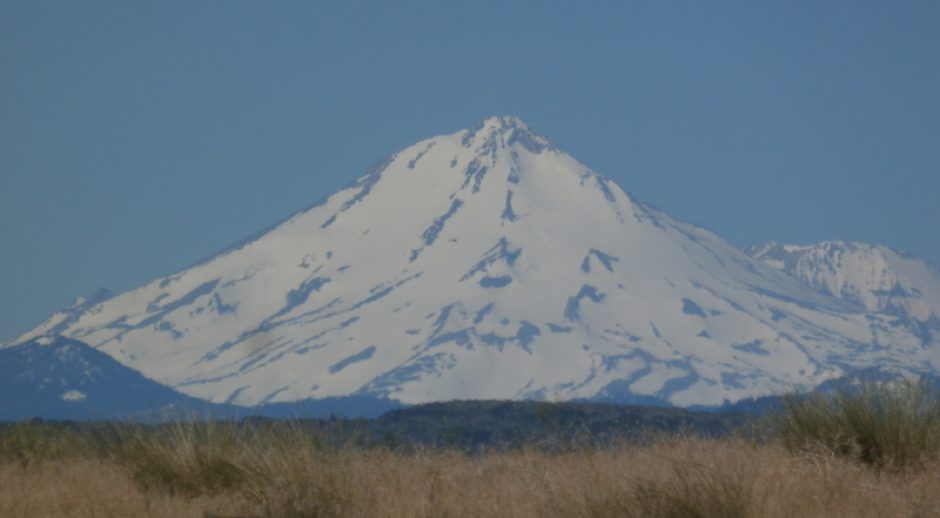
 Off in the distance, Mt. Shasta.


