The visit to the Fort last time begged for a visit to the reason the fort was constructed…
…and it was constructed because of the Whitman massacre that had occurred 11 years and ~7 miles away. And today we’ll visit the site of that old mission.
Here’s the satellite view of the mission grounds. Try to picture living here back in the early 1800’s. Zoom out to see the region…and where the Walla Walla river connects into the Columbia River.
The location for the fort was on a bluff above a meadow next to a year round creek, and the mission had been located in the same type of situation. On a nice meadow below a mound with a slightly larger creek nearby. After choosing the site, they began construction of a holding pond so they could use the water from Mill Creek to run a mill. Here’s some pictures and we’ll just amble around on the paved path provided.
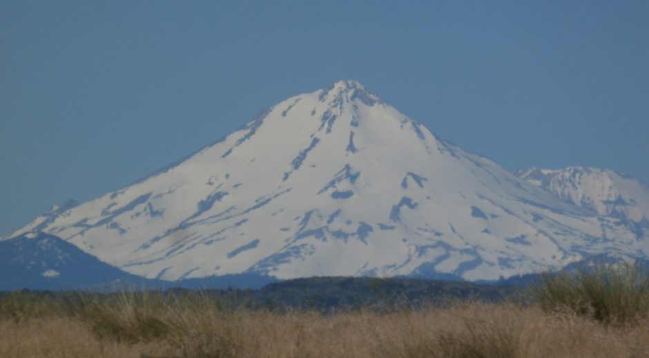
 Off in the distance on the hill is the mass grave. Only 13 died and 48 were captured and used for ransom.

Anyway, first we go through here and look a round a bit. And off we go into the main NP building.
 They have a 30 minute video presentation but I didn’t stop for it. Just before entering, a look back at the nicely shaded parking area. I wondered if those trees might be historical but I didn’t see any reports that they were so, guess not? Nice though.
 Next shot sort of gives a view of the near by grassy area, looking south. There is a creek both on the northern edge and the Walla Walla river on the southern edge of the mission grounds and the river is hidden a bit by that rise and the grasses. So the site is kind of in this low elevation area. This would be purposeful so that it would be easier to operate a water wheel mill but with the disadvantage of the buildings being in a flood prone area. As I recall the Whitman’s first building was flooded out the first winter. So they moved a few feet to a slightly higher area and rebuilt, but a proper mission type place with a clinic I guess. After all, it was “Dr.” Whitman & family that settled here.

Inside the building, I guess this is a diorama of the site, but I don’t know when it represents exactly. Oh, I see now, it represents the buildings just before the massacre. I can tell because the building on the right has an unfinished roof on the end. The historians show a fence around the buildings and paths or roads down to the Oregon trail but now those paths are overgrown. I’m sure archaeologists must have verified all this info that the historians uncovered. Most of which would have been written by survivors. And buildings and fences leave tell tales. It appears that the fence was once much closer to the buildings than as it’s positioned next to the Oregon Trail now. There were something like 48 people who were captured and held for ransom that were around or living here at the time of the massacre. The ransom was paid by the Hudson Bay fur trading company. Of note is that the Hudson Co. never asked for repayment.
The river used to meander near the site as shown there in the background of the diorama, and there’s a representation of the pond that powered the grist mill. And there’s the beginnings of a fruit tree orchard on the upper right. Anyway, that’s what we’ll be touring today, the remnants of the mission buildings and earth works.

And here’s what a typical native’s temporary home would have looked like. They used the Tule rushes for construction material, as you can see. Most of the natives in the Walla2 valley were nomadic but they did like this valley so some stayed year round. Two or three tribes like to hang out here.

Local building techniques for temporary shelters…
After leaving the park’s introduction building, visitors walk a paved trail around the site. Note that a bit after the massacre, the Cayuse torched the buildings so all that was left when people came by along the trail afterwards were mostly just burnt out shells.
Here’s the Oregon trail. I’ll pass it again on the way back on the loop trail. And there’s the modern reconstruction of the fence. Why the Whitman’s went to the trouble of building the fence is interesting. Maybe to keep deer or elk from ravaging their gardens? They did have some livestock but I didn’t see any mention of where they were kept.

The actual Oregon Trail. Went right by the mission for a while.
This grass was very helpful for the locals and the Whitman’s. Had many many uses. Named Tule grass by the natives.
 And here’s the location of the original mission building.


It is a nice site for a settlement. And there are 2 nearby creeks for water, the abundant tule rushes to use as building material, and so many other items nearby to make pioneer life easier. Including eatable roots, nuts, berries, not to mention deer and elk.
Didn’t take long for construction of the bigger house to be started. One of the interesting stories I read is about one of the settlers here, when the massacre went down, he’d built his home with an opening to the crawl space covered by a heavy rug, so he got his entire family hidden away down there when it happened. Then they snuck away under cover of darkness and used the tule bushes for cover so they could make their escape from the mission area. Lucky that natives didn’t torch the build at first. At least that’s what I remember.

Here’s where the Whitman’s daughter drowned back when the river looped right here.


Here’s where the grist mill was sited with the pond to the left and the mill right here on this open mound.
 Here’s the pond they constructed to provide water power for the grist mill. The area is experiencing a years long drought due to climate change so it’s empty at the moment.
 Those grasses would be handy for a number of farmstead uses.
 A bit down the path from the pond is (was) this temporary shelter for emigrants passing the mission on their way further west. This far north they would be heading for the Columbia River which is due west of here down the Walla Walla river. They would stop for a few days and rest here before the very dangerous trek down the Columbia River Gorge with it’s many rapids, catch up on news, maybe start gathering materials for building a raft.

Up on that hill top is the mass grave of the Whitman’s and those in the group that didn’t escape the massacre. My hips and knees prevented a hike up there.


This next drawing shows how the historians believe the mission looked at the time of the massacre. It was almost completed, only needed a roof on that last room on the left.


Dr. Whitman was murdered just inside the door while attempting to offer medicine, and Narcissa was first wounded though an open door, and then enticed outside where she was repeatedly shot. It’s an interesting but tragic story that you might want to read about here: The Whitman Massacre…
And here’s a more extensive article, with ‘representations’ of the mythical appearances of the Whitman’s. The Whitman massacre – Wikipedia version…

In this next picture, the emigrant house would have a few feet beyond that modern reconstructed fence, and the actual mission would have stood off to the right, maybe 100 feet away. For years after the massacre, pioneers steered clear of this mission and headed west many miles south of here instead.

The Oregon Trail. Not so bad here. This is probably why people liked to stop and rest here. Though the Whitman’s were likely difficult people. One of the adopted daughters said that Narcissa was ‘severe’ in continuance, but it was said the natives cared for her more than Marcus.


So not a fun museum visit, but interesting. Like I said, the mass grave on the top of the hill would be worth the hike as it affords a nice view of the area ’round abouts from up there, but my hips were complaining a bit too much. So I just hiked back to the main parking and headed home. I was going to stop in for the video but decided not.
Hope you enjoyed this little journey, thanks for reading…
…
Thanks for taking the time for the history lesson. This was an interesting review.
You are welcome. I strive for ‘astounding’ but I’ll take ‘interesting’. Hah! Thanks for reading.
Funny that I lived in the area as young kid and returned to Ellensburg for college, but have learned the local history from your blog. Thanks!
You are very welcome, Jeff. Glad to hear you enjoy my ramblings…